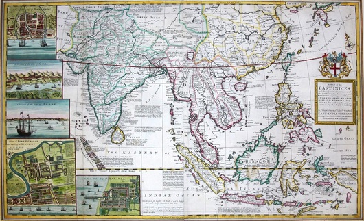
A Map of the East Indies and the Adjacent Countries (Circa 1730)
Herman Moll
Moll's famous two sheet map of the East Indies, with vignette images of leading ports on the left side of the map and much text detail and the trade and history of the region contained within the map.
Moll dedicated this map: To ye Directors of ye Honourable United East India Company this map is most humbly dedicated by your most obedient servant Herman Moll, Geographer


