
Prev | Next
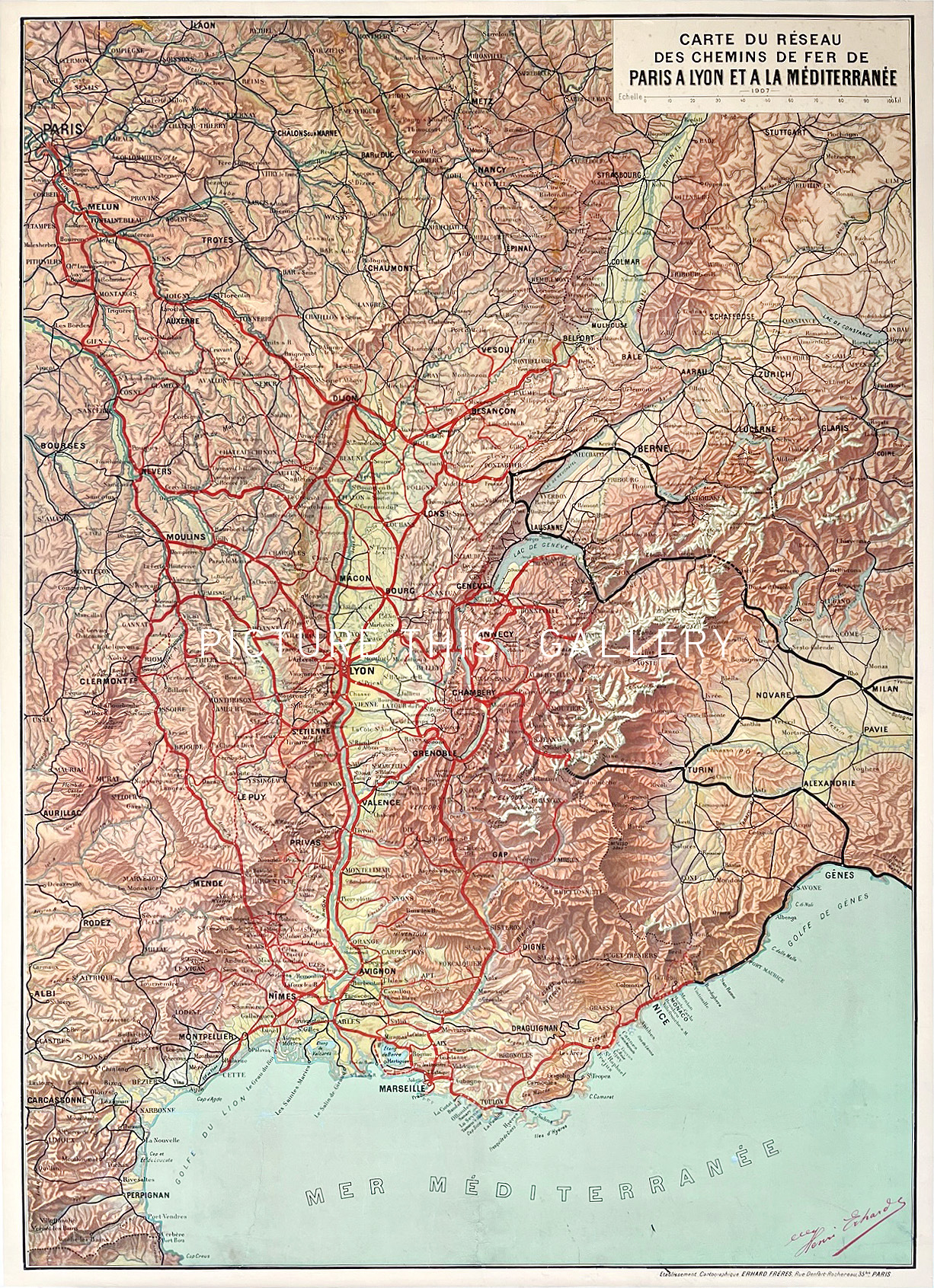
Carte du Réseau des Chemins de Fer de Paris a Lyon et a la Méditerranée (1926)
Henri Erhard
Institut Cartographique de Paris, Paris
Offset printing
76cm x 105cm
1926
Grade: B, Good. Linenbacked. Restored tears (no loss) at the bottom in the sea. Restored borders
M0674
Map of the railway network from Paris to Lyon and the Mediterranean.
220