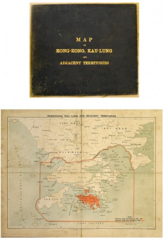
Hong-Kong, Kau-Lung and Adjacent Territories
Prev | Next
17" x 13.25"
BARTHOLOMEW, John
Lithographic map issued by John Bartholomew and the Edinburgh Geographical Institute for the Chronicle and Directory. A most uncommon folding map, circa 1900. The map has been re-backed on new linen and is in its original black cloth boards.(M2914)


