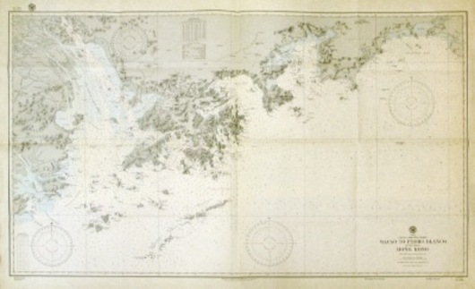
Macao to Pedro Blanco including Hong Kong
Prev | Next
Hydrographic Office, Washington DC
Large chart published in 1916 and with corrections to September 1944. Shows the waters from Macao in the West to Pedro Blanco in the East including the area around Hong Kong and the Pearl River delta as far as the Boca Tigris. (M2781)


