Prev | Next
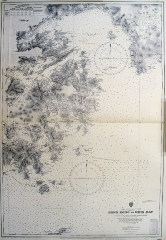
Hong Kong to Mirs Bay
26" x 39"
UK Hydrographic Office
Admiralty Chart (Sheet 3605) published at the UK Hydrographic Office, London in 1908 and with corrections to 1956. Shows the waters from Hong Kong island and harbour up to Mirs Bay including the whole of the Eastern side of the New Territories. M2789
RECENTLY VIEWED ITEMS


